
|
The following pictures are a selection of official or real maps taken from books, CD-ROMs and the internet. Please click on the label between the picture or on the picture itself with the right mouse button and then choose 'Save target as' from the context menu to download it.
 |
 |
 |
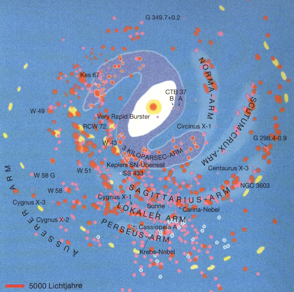
| Picture of the "real" Milky Way | Map of the Milky Way | The galactic core |
| from the book "The Guide to the Galaxy" von Henbest / Couper | from the book "The Guide to the Galaxy" von Henbest / Couper | from the book "The Guide to the Galaxy" von Henbest / Couper |
| scanned by Webmaster | scanned by Webmaster | scanned by Webmaster |
| 1000 x 1000 px, JPEG, 81.3 KB | 1000 x 993 px, JPEG, 315 KB | 700 x 575 px, JPEG, 86.9 KB |
 |
 |
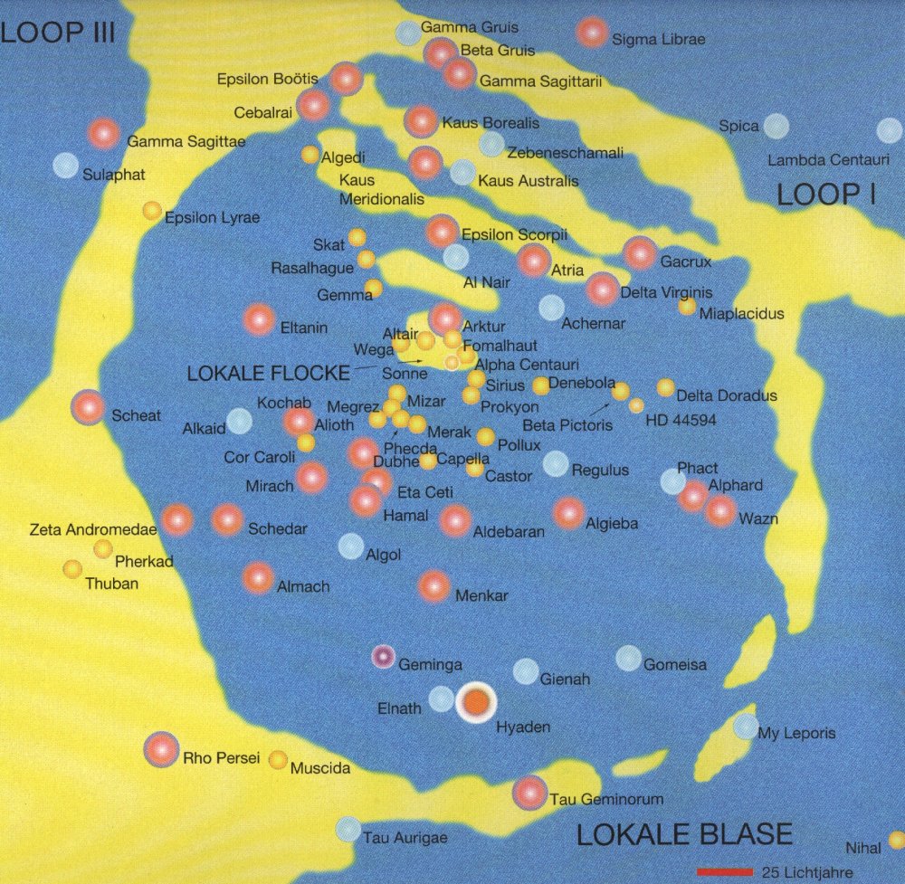 |
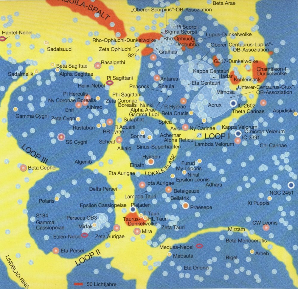
| The real stars (scale 250 ly) | The real stars (scale 50 ly) | The real stars (scale 25 ly) |
| from the book "The Guide to the Galaxy" von Henbest / Couper | from the book "The Guide to the Galaxy" von Henbest / Couper | from the book "The Guide to the Galaxy" von Henbest / Couper |
| scanned by Webmaster | scanned by Webmaster | scanned by Webmaster |
| 1000 x 756 px, JPEG, 238 KB | 1000 x 970 px, JPEG, 261 KB | 1000 x 977 px, JPEG, 270 KB |
 |
 |
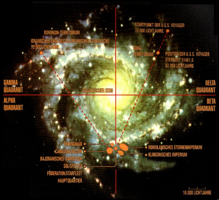 |
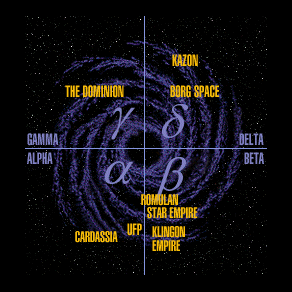
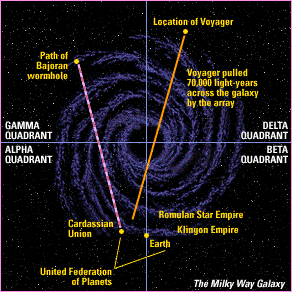
| The 4 quadrants | The Star Trek galaxy | The Milky Way |
| from the Omnipedia CD-ROM | from the Star Trek Encyclopedia Second Edition CD-ROM | from the ST:DS9 TM |
| taken from the Internet | taken from the Internet | scanned by Webmaster |
| 292 x 292 px, GIF, 26.5 KB | 292 x 292 px, GIF, 37.7 KB | 760 x 693 px, GIF, 144.0 KB |
 |
 |
 |
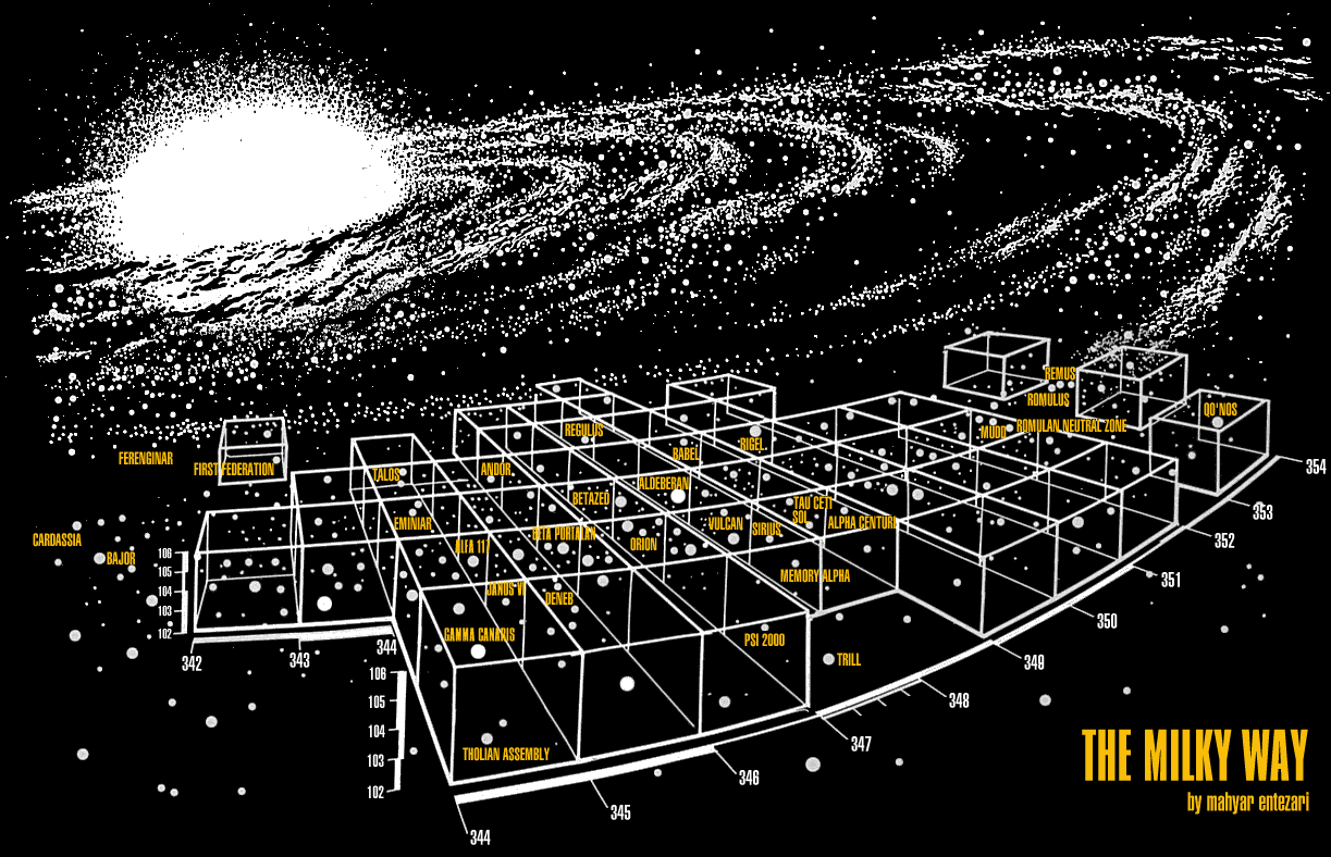
| The spatial Star Trek universe | Space near Earth | The Romulan Neutral Zone |
| from Star Trek: DS9 | from Star Trek Generations | from [TOS] Balance of Terror |
| taken from Sector 001, extended by Webmaster | prepared by Webmaster | taken from Star Trek in Sound and Vision |
| 1123 x 788 px, GIF, 148.0 KB | 360 x 304 px, GIF, 61.6 KB | 500 x 375 px, JPEG, 89.1 KB |
 |
 |
 |
| Sector 441 -
Briar Patch |
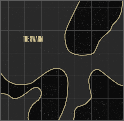
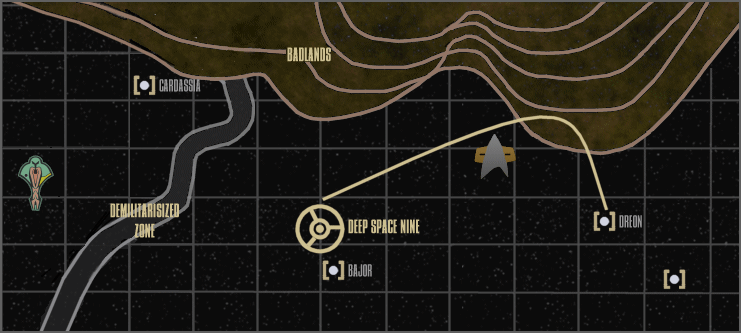
The territory of the Swarm | Badlands and DMZ |
| from Star Trek: Insurrection | from [VOY] The Swarm | from [DS9] For the Cause |
| scanned by Webmaster | copied by Webmaster | copied by Webmaster |
| 800 x 551 px, JPEG, 150.6 KB | 400 x 390 px, GIF, 29.3 KB | 741 x 333 px, GIF, 72.7 KB |
 |
 |
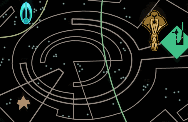 |
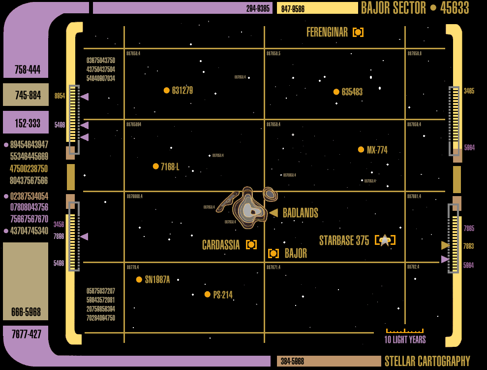
| The Bajor sector | The Bajoran system | Dominion and Bajor |
| from the ST:DS9 TM | from the ST:DS9 TM | from [DS9] Sons and Daughters |
| taken from Sector 001 | taken from Sector 001 | copied by Webmaster |
| 990 x 751 px, GIF, 81.6 KB | 856 x 500 px, GIF, 49.8 KB | 640 x 415 px, GIF, 44.7 KB |
 |
 |
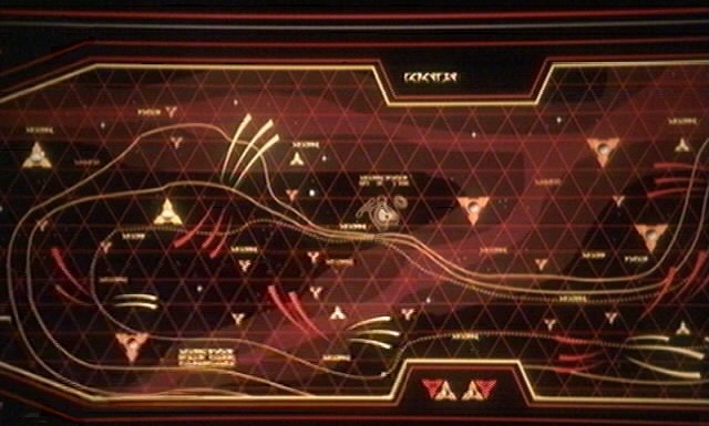 |
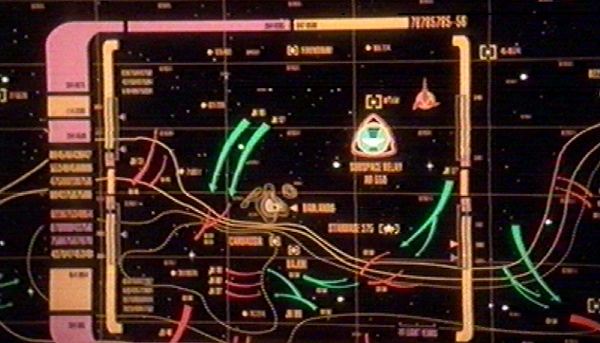
| The front 2375 | Relay station AR-558 | Klingon attacks 2375 |
| from [DS9] When it Rains ... | from [DS9] When it Rains | from [DS9] Tacking Into the Wind |
| grabbed by Webmaster | grabbed by Webmaster | grabbed by Webmaster |
| 600 x 343 px, JPEG, 87.1 KB | 600 x 424 px, JPEG, 92.3 KB | 640 x 385 px, JPEG, 86.1 KB |
 |
 |
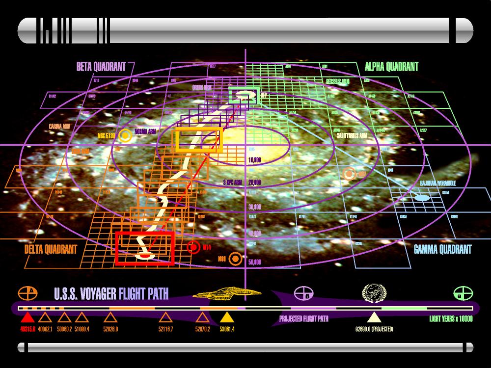 |
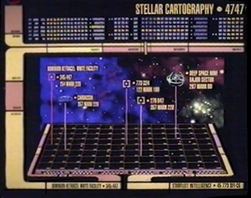
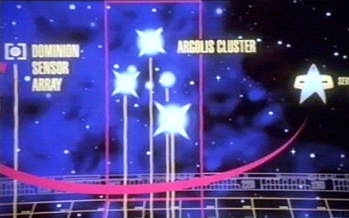
| Ketracel White facility | The Argolis Cluster | Voyager's route home |
| from [DS9] Time to Stand | from [DS9] Behind the Lines | Star Trek: Voyager season 7 |
| grabbed by Webmaster | grabbed by Webmaster | taken from the internet |
| 500 x 395 px, JPEG, 75.9 KB | 500 x 313 px, JPEG, 75.9 KB | 1000 x 750 px, JPEG, 146 KB |
Back to the Star Trek Cartography overview
� 1999-2001 by Star Trek Dimension / Webmaster. Last update: April 29th, 2001